Hidden Cove
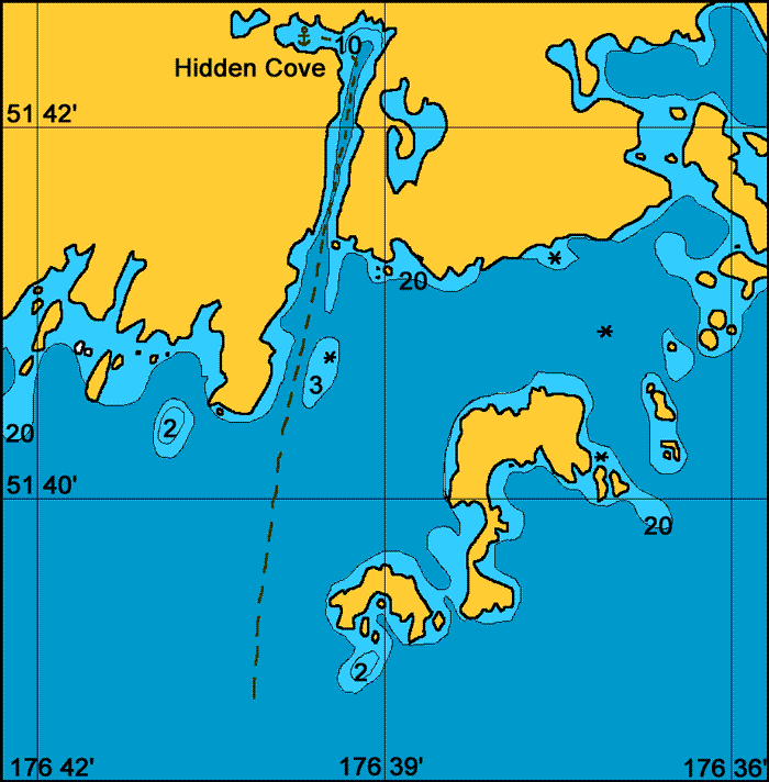
General. Another cyclone hole with protection from all winds. The entrance is open to the Pacific but is wide and deep and it would take a large storm and swell to shut this entrance down.
Reported. August 2003 by Fine Tolerance
Charts. NOAA 16460, NOAA 16471, large scale chart NOAA 16475.
Approach. From seaward there are many large rocky islets which are well marked on the charts. The entrance through these to the long channel that leads up into Hidden Cove is wide and should present no problems. There are no hidden dangers when keeping a middle course in the long, fiord like entrance channel.

Anchoring. When we first entered the wind was from the east and we anchored in front of and old hand rail unloading system left over from the war. This was on a rocky bottom. The wind shifted and we moved and re anchored at 51°42.5 N, 176° 39.1 W in 17 meters on a mud bottom. We investigated the small coves on the north side of the this cove by dinghy but found these to shallow for anchoring.
Points of Interest. Fisheries and Wildlife have a hut here behind which is an attractive valley. There are ruins of an old lookout post on the hill behind the rail like offloading system at the eastern end of the bay.

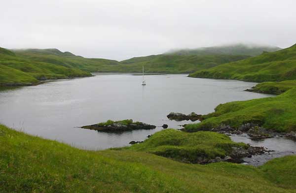
Looking eastward from the head of the bay.
back to Adak Islands main page