Kiska Island

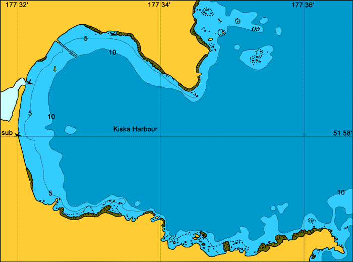
Kiska Harbour.
General. A large harbour and one of the more interesting. There is a sign on the beach warning of unexploded ordnances in the area. We came across whole areas littered with old, rusting, live ammo. Also 10 inch shells lying around that were used for the large guns on the headlands which, if the fog is not thick, you will be able to see on the top of both headlands as you enter through the northern passage into the harbour.
Reported. July 2003 by Fine Tolerance
Charts. NOAA 16441, large scale harbour chart NOAA 16442.
Approach. From the north this is a straight forward approach. There are some rocks about but they are clearly marked on the charts and there is plenty of room to avoid them. The entrance is wide and safe. We did not pass through the southern passage.

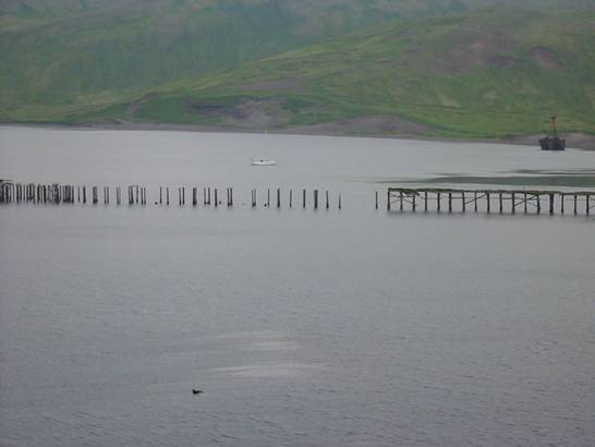
Anchoring. We anchored in front of the large cliff in the centre of the bay in 9 meters, good holding black sand, at 51° 58.6 N 177° 32.5 E. and just out from a large patch of streaming kelp. We have also had reports that you can anchor just north of the wooden pier ruins at 51° 58.9 N, 177° 32.7 E in 8 meters, black sand, so if the wind is from the north you may want to try this option. I would keep away from the immediate vicinity of this jetty as we did note some things sticking out of the water at low tide.
Points of Interest. The wrecks against the shore. The Japanese two man sub on what used to be its slip. The intact guns on the headlands, the old wooden road, the 1940’s tip, and the list goes on and on. We did hear that there is a Japanese underground hospital here but we couldn’t find it.

Looking out over the harbour from the north west corner. Jetty ruins and ship
wreak in view.
back to Aleutian Islands main page