Three Arm Bay

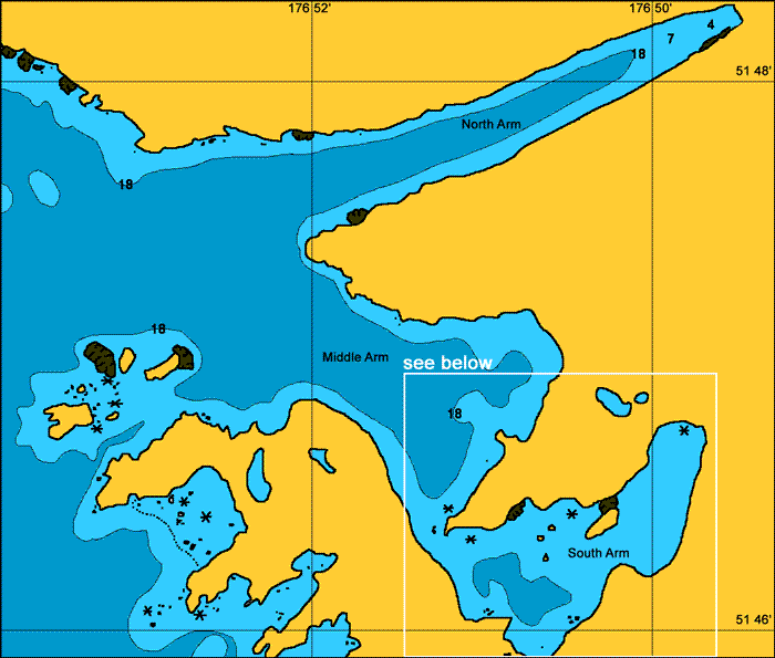
General. There is perfect protection in the South Arm from all winds which is a true hurricane hole. There was quite a bit of kelp but not thick enough to present any problems. Middle Arm is suitable for larger ships while the North Arm is exposed to westerly winds.
Reported. August 2003 by Fine Tolerance
Charts. NOAA 16471, NOAA 16467.
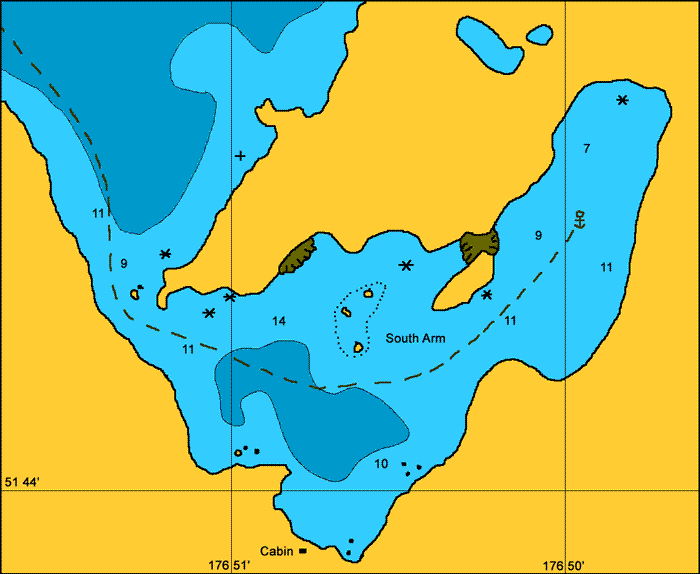
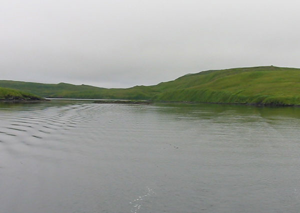
Approach. Entrances to North and Middle Arm are straight forward. The entrance to South Arm is smaller with a rock in the narrow channel as you enter. Keep on the starboard, hill side as you enter, passing the rock to your port side. In clear visibility you will have no problem but it becomes a bit nerve racking when going through here in thick fog.

Anchoring. We anchored in South Arm in 9 meters of water at 51° 44.6 N, 176° 49.9W on a good holding mud. You can also anchor off the Fisheries and Wildlife hut which is to starboard a short way after entering through the narrow entrance.
Points of Interest. You can fill up with water from the waterfall near the anchoring area. We also dinghied around to the head of North Arm and walked the hill which gave a good view of the Bay of Islands. There are introduced caribou in this area and although we saw many tracks we did not manage to sight any.

The entrance to South Arm showing the rock that you need to leave on the port
side of
your boat as you enter.

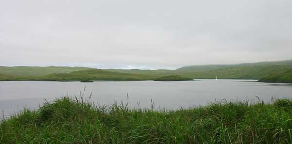
Inside
South Arm from near the Fisheries and Wildlife cabin.
back to Adak Islands main page