Beverly Cove
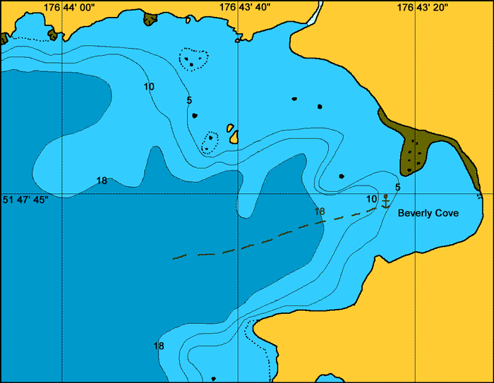
General. This is near the head of the Bay of Islands. Ruins of a small jetty are on the pebbly shore.
Reported. August 2003 by Fine Tolerance
Charts. NOAA 16471, large scale chart NOAA 16474.
Approach. There are some rocks that are below water at high tide on the northern side of the bay. However to the anchoring place near the short ismuth that juts out at the southern end of the bay it is free, clear water.

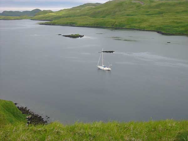
Anchoring. We anchored at 51° 47.7 N, 176° 43.4 W in 8 meters. Holding was good. There is some kelp in this area but not enough to cause any trouble.
Points of Interest. Wild life abounds in this area, both above and below the water.

back to Bay of Islands main page